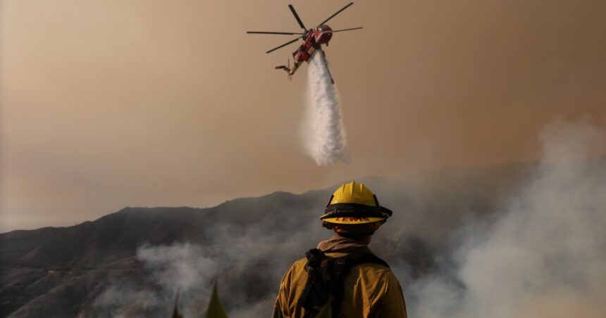
As flames threatened the upscale Mandeville Canyon and Encino neighborhoods of Los Angeles, firefighters took advantage of the better weather to prevent flames from expanding the northern footprint of the Palisades fire today.
Cooler winds from the Pacific in the region blew earlier in the day from the south-southwest inland, giving firefighters a temporary reprieve from the hot, dry offshore winds that move north to south and heat pressurized air molecules as gusts descend from the mountains toward the sea.
“The winds are in our favor in this area, so it looks really good,” said Christian Litz, chief of operations for the California Department of Forestry and Fire Protection.
He explained that some of the northeast contours of the fire near Mandeville Canyon were fortified with bulldozer lines in the middle of the fire’s northern break. “We’ve seen the movement go backwards,” Litz said during a community meeting broadcast this evening for the public.
The area was the subject of concern after evacuation warnings spread down the 405 Freeway to parts of Bel Air and near the UCLA campus in Westwood. The fire did not extend beyond the highway.
“This top looks really nice,” Litz said.
Tomorrow represents the potential for another difficult day, as the Santa Ana winds that helped fuel Southern California’s devastating fires during the week are expected to return overnight.
Data from the National Weather Service tracked the winds as they turned and returned in the feared offshore direction from the north-northeast this evening. Red flag warnings were in effect across much of Los Angeles and Ventura counties this evening, with gusts of 50 to 75 mph possible tonight through tomorrow morning and again tomorrow evening through Monday morning, indicated federal forecasters.
Federal forecasters have “high confidence in long-term critical fire weather conditions,” the Weather Service office in Oxnard, Calif., said in its alert warning message.
Red flag warnings alert residents to dangerous fire weather conditions, measured by winds of at least 20 mph and relative humidity of 25 percent or less, according to the weather service.